The latest version of Google Earth, Timelapse, provides visual evidence of how the Earth has changed due to climate change and human behavior.
Timelapse takes static images of the platform and turns it into a dynamic 4D experience, allowing users to click on the dates located at the bottom.
Timelapse compiles 24 million satellite images taken from 1984 to 2020, an effort that Google said required two million hours of processing on thousands of machines in the Google Cloud. For the project, the company partnered with NASA, the United States Geological Survey's Landsat program, the European Union's Copernicus program, and its Sentinel satellites, as well as the CREATE Lab at Carnegie Mellon University, which helped develop Timelapse technology.


To explore Timelapse in Google Earth, users can enter any location in the search bar to see the change in decades. Google said it hopes governments, researchers, journalists, teachers and advocates will analyze the images, trends and share their findings.
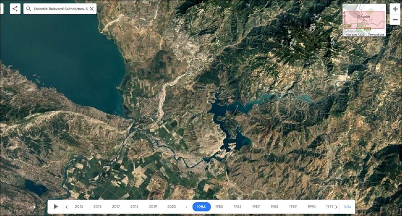
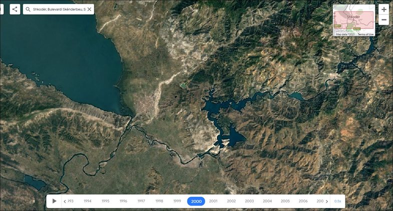
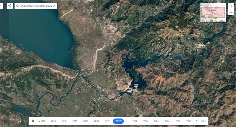
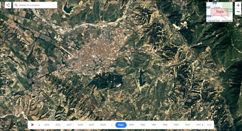
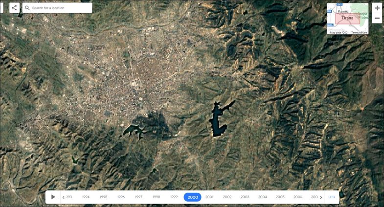
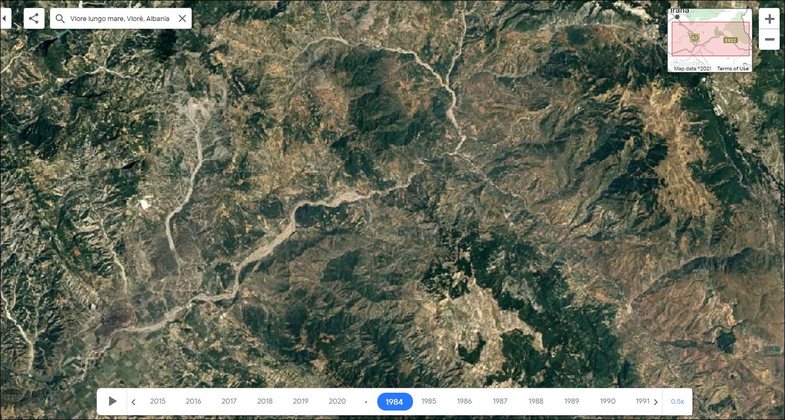
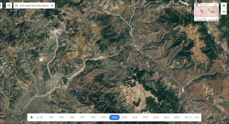
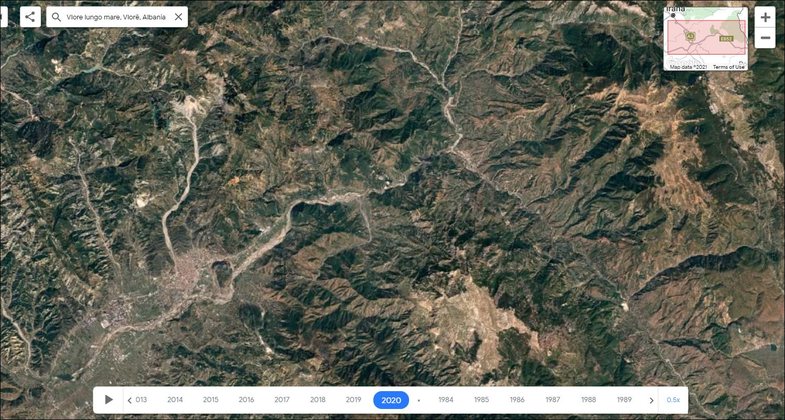
Some pictures:
Tirana

Vlora
Shkodra